







Fayetteville service area
Washington County and the I-49 corridor
Fayetteville pickups, campus to county line
We collect across Fayetteville, from the university and the research park to the plants on the south side and the shops along College Avenue. Farmington, Greenland, Johnson, Elkins and Prairie Grove are close by and easy to reach.
North on I-49, we load every day in Springdale, Lowell, Rogers and Bentonville. South and west, Fort Smith, Siloam Springs and Huntsville are regular stops as well.
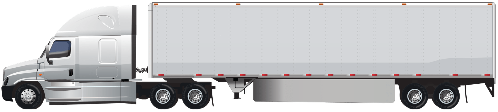
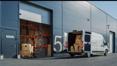
No matter where it begins, your load has the vehicle to itself. There are no added pickups, so the driver heads straight for the receiver.